Green Hill, Lamerton
Introduction
The photograph on this page of Green Hill, Lamerton by Derek Harper as part of the Geograph project.
The Geograph project started in 2005 with the aim of publishing, organising and preserving representative images for every square kilometre of Great Britain, Ireland and the Isle of Man.

There are currently over 7.5m images from over 14,400 individuals and you can help contribute to the project by visiting https://www.geograph.org.uk
Green Hill, Lamerton
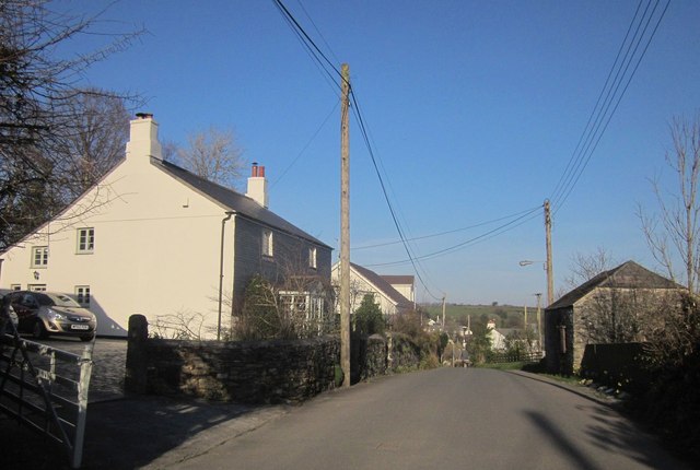
Image: © Derek Harper Taken: 8 Mar 2014
The lane connecting Lamerton Green to Lamerton itself. One of the buildings on the left is listed http://list.english-heritage.org.uk/resultsingle.aspx?uid=1326230&searchtype=mapsearch but it's difficult to work out which. The structure on the right backs onto the village's sports and community centre car park.
Images are licensed for reuse under creativecommons.org/licenses/by-sa/2.0
Image Location
Latitude
50.570239
Longitude
-4.194976