Brookdale Road, Nuneaton
Introduction
The photograph on this page of Brookdale Road, Nuneaton by Stephen McKay as part of the Geograph project.
The Geograph project started in 2005 with the aim of publishing, organising and preserving representative images for every square kilometre of Great Britain, Ireland and the Isle of Man.

There are currently over 7.5m images from over 14,400 individuals and you can help contribute to the project by visiting https://www.geograph.org.uk
Brookdale Road, Nuneaton
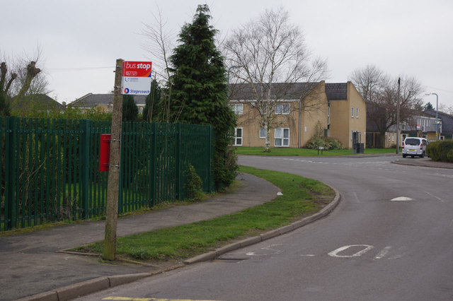
Image: © Stephen McKay Taken: 8 Mar 2014
Brookdale Road curls round the grounds of Higham Lane School on the left. Buses only use this stop on Sundays.
Images are licensed for reuse under creativecommons.org/licenses/by-sa/2.0
Image Location
Latitude
52.533711
Longitude
-1.457299