Further work on the Affinity Water site
Introduction
The photograph on this page of Further work on the Affinity Water site by John Baker as part of the Geograph project.
The Geograph project started in 2005 with the aim of publishing, organising and preserving representative images for every square kilometre of Great Britain, Ireland and the Isle of Man.

There are currently over 7.5m images from over 14,400 individuals and you can help contribute to the project by visiting https://www.geograph.org.uk
Further work on the Affinity Water site
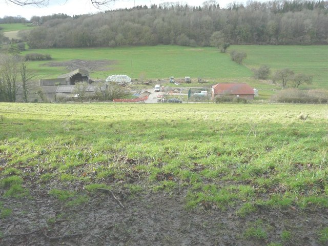
Image: © John Baker Taken: 10 Feb 2014
I thought work had been Image on this site but there was signs of activity as I walked down the hill towards Rakesole Farm.
Images are licensed for reuse under creativecommons.org/licenses/by-sa/2.0
Image Location
Latitude
51.155034
Longitude
1.147194