The White Hart, Cadnam
Introduction
The photograph on this page of The White Hart, Cadnam by mike smith as part of the Geograph project.
The Geograph project started in 2005 with the aim of publishing, organising and preserving representative images for every square kilometre of Great Britain, Ireland and the Isle of Man.

There are currently over 7.5m images from over 14,400 individuals and you can help contribute to the project by visiting https://www.geograph.org.uk
The White Hart, Cadnam
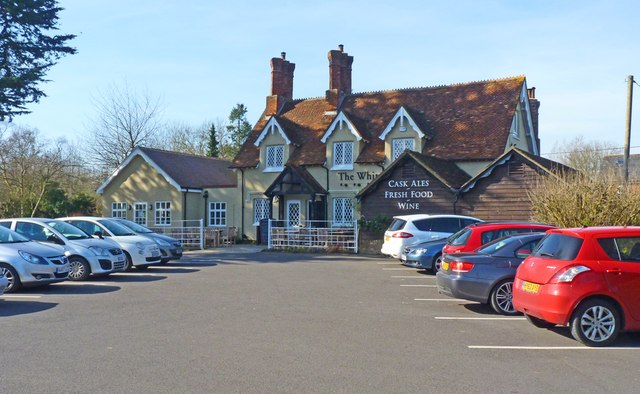
Image: © mike smith Taken: 8 Mar 2014
This historical pub was on the main A31 trunk road until 1975 when the M27 opened a short distance to the north, and the A31 was realigned. Nevertheless, it still manages to thrive with an offering of good food and fine ales.
Images are licensed for reuse under creativecommons.org/licenses/by-sa/2.0
Image Location
Latitude
50.921738
Longitude
-1.581252