Cinderford Bridge Quarry from boundary with Wagstaff House
Introduction
The photograph on this page of Cinderford Bridge Quarry from boundary with Wagstaff House by Clint Mann as part of the Geograph project.
The Geograph project started in 2005 with the aim of publishing, organising and preserving representative images for every square kilometre of Great Britain, Ireland and the Isle of Man.

There are currently over 7.5m images from over 14,400 individuals and you can help contribute to the project by visiting https://www.geograph.org.uk
Cinderford Bridge Quarry from boundary with Wagstaff House
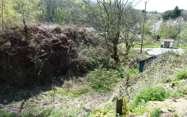
Image: © Clint Mann Taken: 6 May 2013
Overgrown remains of quarry at Cinderford Bridge, from boundary with Wagstaff House (once the offices for Cinderford Bridge Colliery). Once linked by rail to Ruspidge Halt. Image depicts junction with Valley Road, with bus stop in middle distance and Speech House Road (B4226) in background.
Images are licensed for reuse under creativecommons.org/licenses/by-sa/2.0
Image Location
Latitude
51.811475
Longitude
-2.507928