Randalls Road, recycling depot turning
Introduction
The photograph on this page of Randalls Road, recycling depot turning by Hugh Craddock as part of the Geograph project.
The Geograph project started in 2005 with the aim of publishing, organising and preserving representative images for every square kilometre of Great Britain, Ireland and the Isle of Man.

There are currently over 7.5m images from over 14,400 individuals and you can help contribute to the project by visiting https://www.geograph.org.uk
Randalls Road, recycling depot turning
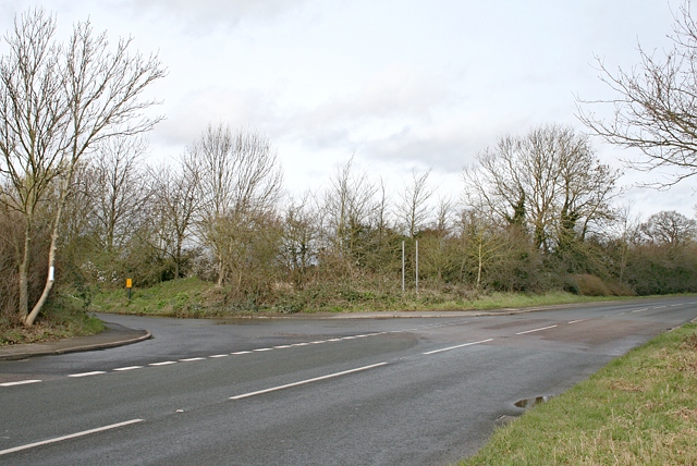
Image: © Hugh Craddock Taken: 2 Mar 2014
Randalls Road at the turning to the recycling depot. Before the inclosure of Leatherhead Common around 1865, only the turning to the left, now to the recycling depot, existed. The road down to the depot is the old alignment of what was formerly called Gutters Lane, past Brook Cottage leading into Stoke Lane, and so to Stoke d'Abernon. Randalls Road north of this turning was laid out only from 1865, across the former Leatherhead Common. South of the turning, towards the photographer, this part of the road was laid out in the early 1980s to straighten out that part of Randalls Road across Gutters Bridge. The old alignment of the road, a remnant of what used to be called Randalls Lane, can still be seen behind the bund on the far left of the photograph, and is reserved as a horse margin as far as the junction with River Lane to the south. A gypsy site became established behind the bund soon after the old road was stopped up, but this was closed down in the 1990s. The old Gutters Bridge can be seen here: Image
Images are licensed for reuse under creativecommons.org/licenses/by-sa/2.0
Image Location
Latitude
51.306328
Longitude
-0.349315