Footpath and Brook in Duddon
Introduction
The photograph on this page of Footpath and Brook in Duddon by John S Turner as part of the Geograph project.
The Geograph project started in 2005 with the aim of publishing, organising and preserving representative images for every square kilometre of Great Britain, Ireland and the Isle of Man.

There are currently over 7.5m images from over 14,400 individuals and you can help contribute to the project by visiting https://www.geograph.org.uk
Footpath and Brook in Duddon
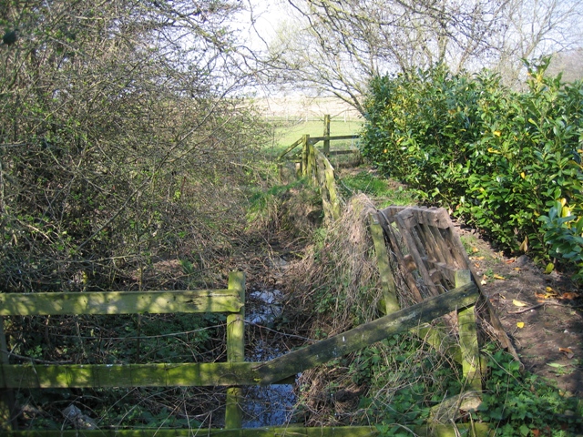
Image: © John S Turner Taken: 2 Apr 2007
This footpath leads off Common Lane in Duddon. After the stile it heads across the fields towards the minor lane near Duddon Mill.
Images are licensed for reuse under creativecommons.org/licenses/by-sa/2.0
Image Location
Latitude
53.182596
Longitude
-2.723754