Western end of Radyr railway station
Introduction
The photograph on this page of Western end of Radyr railway station by Jaggery as part of the Geograph project.
The Geograph project started in 2005 with the aim of publishing, organising and preserving representative images for every square kilometre of Great Britain, Ireland and the Isle of Man.

There are currently over 7.5m images from over 14,400 individuals and you can help contribute to the project by visiting https://www.geograph.org.uk
Western end of Radyr railway station
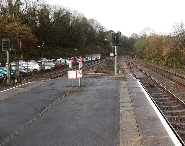
Image: © Jaggery Taken: 19 Feb 2014
The next station ahead is Taffs Well, nearly 3km away. Signal identifiers in view are VR622 on the right and VR520 on the left.
Images are licensed for reuse under creativecommons.org/licenses/by-sa/2.0
Image Location
Latitude
51.517185
Longitude
-3.251619