Footpath to tennis courts, Mary Stevens Park, Stourbridge
Introduction
The photograph on this page of Footpath to tennis courts, Mary Stevens Park, Stourbridge by P L Chadwick as part of the Geograph project.
The Geograph project started in 2005 with the aim of publishing, organising and preserving representative images for every square kilometre of Great Britain, Ireland and the Isle of Man.

There are currently over 7.5m images from over 14,400 individuals and you can help contribute to the project by visiting https://www.geograph.org.uk
Footpath to tennis courts, Mary Stevens Park, Stourbridge
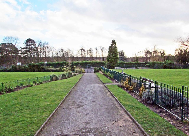
Image: © P L Chadwick Taken: 13 Feb 2014
The footpath runs between the croquet lawn, on the left, and the Crown Green Bowls lawn, on the right.
Images are licensed for reuse under creativecommons.org/licenses/by-sa/2.0
Image Location
Latitude
52.449091
Longitude
-2.152244