Old enclosure marks in a field between Fen Lane and Conisholme
Introduction
The photograph on this page of Old enclosure marks in a field between Fen Lane and Conisholme by Chris as part of the Geograph project.
The Geograph project started in 2005 with the aim of publishing, organising and preserving representative images for every square kilometre of Great Britain, Ireland and the Isle of Man.

There are currently over 7.5m images from over 14,400 individuals and you can help contribute to the project by visiting https://www.geograph.org.uk
Old enclosure marks in a field between Fen Lane and Conisholme
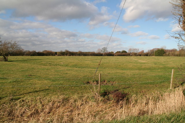
Image: © Chris Taken: 8 Feb 2014
Beyond the old ditch and enclosure marks in the foreground is ridge and furrow - or rig 'n furra/forra as it is known round here. See: Image and Image
Images are licensed for reuse under creativecommons.org/licenses/by-sa/2.0
Image Location
Latitude
53.43302
Longitude
0.110986