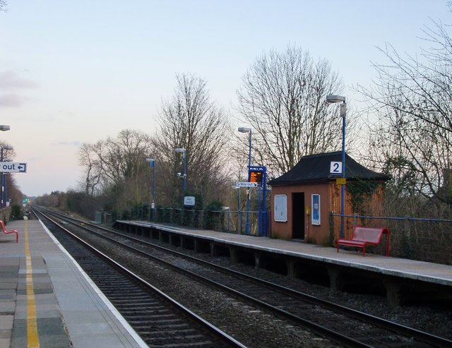
Denham Golf Club station
Introduction
The photograph on this page of Denham Golf Club station by Stefan Czapski as part of the Geograph project.
The Geograph project started in 2005 with the aim of publishing, organising and preserving representative images for every square kilometre of Great Britain, Ireland and the Isle of Man.
There are currently over 7.5m images from over 14,400 individuals and you can help contribute to the project by visiting https://www.geograph.org.uk

Image: © Stefan Czapski Taken: 2 Feb 2014
On what is now known as the Chiltern Line - a line which originated in 1906 as the Great Western and Great Central Joint. The view is in the 'up' direction - towards London Marylebone - at about 4.50pm on a February afternoon. I have a vague childhood memory that this station was once called Denham Links (or perhaps Denham Golf Links Halt) - but can't find any reference to that name on the web. The little 'pagoda' shelter is worth a closer look: http://www.geograph.org.uk/photo/3837283

