Sundridge village sign
Introduction
The photograph on this page of Sundridge village sign by Ian Capper as part of the Geograph project.
The Geograph project started in 2005 with the aim of publishing, organising and preserving representative images for every square kilometre of Great Britain, Ireland and the Isle of Man.

There are currently over 7.5m images from over 14,400 individuals and you can help contribute to the project by visiting https://www.geograph.org.uk
Sundridge village sign
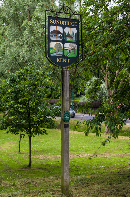
Image: © Ian Capper Taken: 20 Jun 2013
In Coronation Gardens. The sign depicts: Top left: Old Hall (see Image) Top right: Sundridge Church (see Image) Bottom left: River Darent (presumably) Bottom right: Ice house, Combe Bank (presumably)
Images are licensed for reuse under creativecommons.org/licenses/by-sa/2.0
Image Location
Latitude
51.278229
Longitude
0.127045