Brauncewell Home Close
Introduction
The photograph on this page of Brauncewell Home Close by Richard Croft as part of the Geograph project.
The Geograph project started in 2005 with the aim of publishing, organising and preserving representative images for every square kilometre of Great Britain, Ireland and the Isle of Man.

There are currently over 7.5m images from over 14,400 individuals and you can help contribute to the project by visiting https://www.geograph.org.uk
Brauncewell Home Close
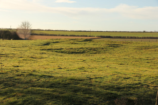
Image: © Richard Croft Taken: 16 Jan 2014
Part of the remains of the deserted medieval village of Brauncewell south of All Saints' church, known in the 19th century as 'Home Close'. A group of buildings represented by substantial earthworks, including buried stone walls, standing up to 2m in height. Some of these buildings were still standing in the 19th century and are thought to have included a vicarage.
Images are licensed for reuse under creativecommons.org/licenses/by-sa/2.0
Image Location
Latitude
53.058548
Longitude
-0.44175