Banbridge NIFR Station
Introduction
The photograph on this page of Banbridge NIFR Station by Eric Jones as part of the Geograph project.
The Geograph project started in 2005 with the aim of publishing, organising and preserving representative images for every square kilometre of Great Britain, Ireland and the Isle of Man.

There are currently over 7.5m images from over 14,400 individuals and you can help contribute to the project by visiting https://www.geograph.org.uk
Banbridge NIFR Station
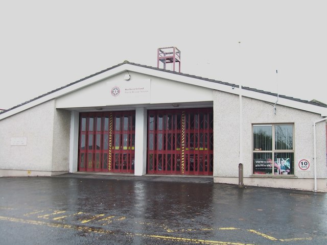
Image: © Eric Jones Taken: 6 Nov 2013
This station, one of 23 in the Southern Command Area (which covers Cos.Down and Armagh), is manned by retained personnel.
Images are licensed for reuse under creativecommons.org/licenses/by-sa/2.0
Image Location
Latitude
54.350045
Longitude
-6.272295