Pond beside cycle path
Introduction
The photograph on this page of Pond beside cycle path by Lairich Rig as part of the Geograph project.
The Geograph project started in 2005 with the aim of publishing, organising and preserving representative images for every square kilometre of Great Britain, Ireland and the Isle of Man.

There are currently over 7.5m images from over 14,400 individuals and you can help contribute to the project by visiting https://www.geograph.org.uk
Pond beside cycle path
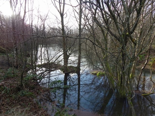
Image: © Lairich Rig Taken: 8 Jan 2014
The pond is shown on OS maps from about the 1960s onwards. It is not well seen from the nearby path, and, even in winter, the woods conceal its true extent. It probably arose as the result of earlier industrial activity here; there used to be sandpits, a brickfield, and lime workings in the area: see Image
Images are licensed for reuse under creativecommons.org/licenses/by-sa/2.0
Image Location
Latitude
55.950416
Longitude
-4.57614