The Bulwark from Sandown Road
Introduction
The photograph on this page of The Bulwark from Sandown Road by Marathon as part of the Geograph project.
The Geograph project started in 2005 with the aim of publishing, organising and preserving representative images for every square kilometre of Great Britain, Ireland and the Isle of Man.

There are currently over 7.5m images from over 14,400 individuals and you can help contribute to the project by visiting https://www.geograph.org.uk
The Bulwark from Sandown Road
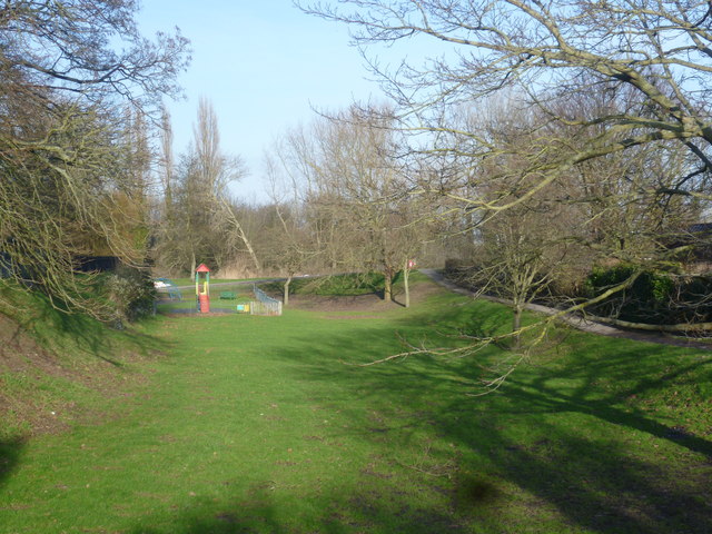
Image: © Marathon Taken: 12 Jan 2014
The town walls of Sandwich consisted of an earthen bank thrown up in 1384, which now form a pleasant walk around the edge of the town. This part of the defences on the left is known as The Bulwark and ahead is the (now dry) moat which surrounded the walls. Only one of the town gates, which were built at the same time, survive. This is Fisher Gate - see http://www.geograph.org.uk/photo/3815112
Images are licensed for reuse under creativecommons.org/licenses/by-sa/2.0
Image Location
Latitude
51.273909
Longitude
1.346186