High Kingsdown, Paul Street, Bristol
Introduction
The photograph on this page of High Kingsdown, Paul Street, Bristol by Stephen Richards as part of the Geograph project.
The Geograph project started in 2005 with the aim of publishing, organising and preserving representative images for every square kilometre of Great Britain, Ireland and the Isle of Man.

There are currently over 7.5m images from over 14,400 individuals and you can help contribute to the project by visiting https://www.geograph.org.uk
High Kingsdown, Paul Street, Bristol
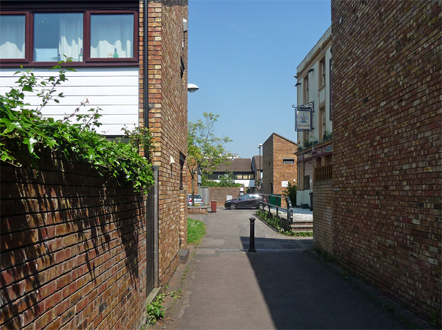
Image: © Stephen Richards Taken: 23 May 2012
An example of the move away from high-rise concrete to low-rise housing estates in homely brick. Built 1971-75 by Whicheloe Macfarlane and JT Group Ltd. The houses are staggered so as to present a herringbone pattern from the air. A Victorian relic, the King's Arms pub, was sadly derelict at the time.
Images are licensed for reuse under creativecommons.org/licenses/by-sa/2.0
Image Location
Latitude
51.461095
Longitude
-2.600323