Site of Mathry Road station
Introduction
The photograph on this page of Site of Mathry Road station by Ben Brooksbank as part of the Geograph project.
The Geograph project started in 2005 with the aim of publishing, organising and preserving representative images for every square kilometre of Great Britain, Ireland and the Isle of Man.

There are currently over 7.5m images from over 14,400 individuals and you can help contribute to the project by visiting https://www.geograph.org.uk
Site of Mathry Road station
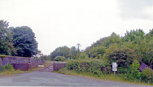
Image: © Ben Brooksbank Taken: 23 Jun 2004
View SW on the B4331(6), towards Clarbeston Road, Whitland, Carmarthen etc: ex-GWR South Wales main line to Fishguard. The line is up to the right and the station was ahead, closed 6/4/64. The station ('Mathry' until 1924) was about four miles from Mathry and was the nearest station to St David's - about 10 miles further west.
Images are licensed for reuse under creativecommons.org/licenses/by-sa/2.0
Image Location
Latitude
51.935322
Longitude
-5.015495