Bethel Chapel
Introduction
The photograph on this page of Bethel Chapel by Tony Atkin as part of the Geograph project.
The Geograph project started in 2005 with the aim of publishing, organising and preserving representative images for every square kilometre of Great Britain, Ireland and the Isle of Man.

There are currently over 7.5m images from over 14,400 individuals and you can help contribute to the project by visiting https://www.geograph.org.uk
Bethel Chapel
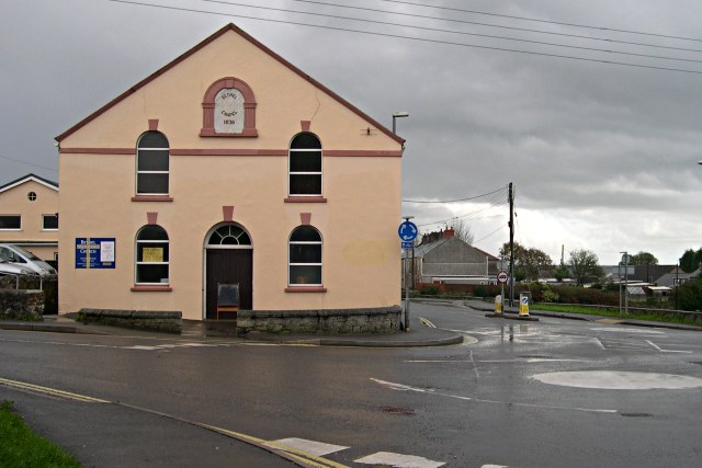
Image: © Tony Atkin Taken: 12 Nov 2005
The plaque on the front shows the year 1836 which makes it a relatively early Methodist Church. It is still in use for worship.
Images are licensed for reuse under creativecommons.org/licenses/by-sa/2.0
Image Location
Latitude
50.344129
Longitude
-4.763779