Looking west-southwest along Cannon Street
Introduction
The photograph on this page of Looking west-southwest along Cannon Street by John Baker as part of the Geograph project.
The Geograph project started in 2005 with the aim of publishing, organising and preserving representative images for every square kilometre of Great Britain, Ireland and the Isle of Man.

There are currently over 7.5m images from over 14,400 individuals and you can help contribute to the project by visiting https://www.geograph.org.uk
Looking west-southwest along Cannon Street
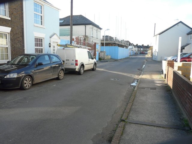
Image: © John Baker Taken: 10 Nov 2013
The blue hoarding hides a building site. Planning permission has been granted by Dover District Council under application number DOV/09/00873 for the “erection of a GP surgery, Community Centre, 28 flats and 41 houses, related infrastructure and car parking”.
Images are licensed for reuse under creativecommons.org/licenses/by-sa/2.0
Image Location
Latitude
51.230459
Longitude
1.399336