Maypole 2013
Introduction
The photograph on this page of Maypole 2013 by Jonathan Billinger as part of the Geograph project.
The Geograph project started in 2005 with the aim of publishing, organising and preserving representative images for every square kilometre of Great Britain, Ireland and the Isle of Man.

There are currently over 7.5m images from over 14,400 individuals and you can help contribute to the project by visiting https://www.geograph.org.uk
Maypole 2013
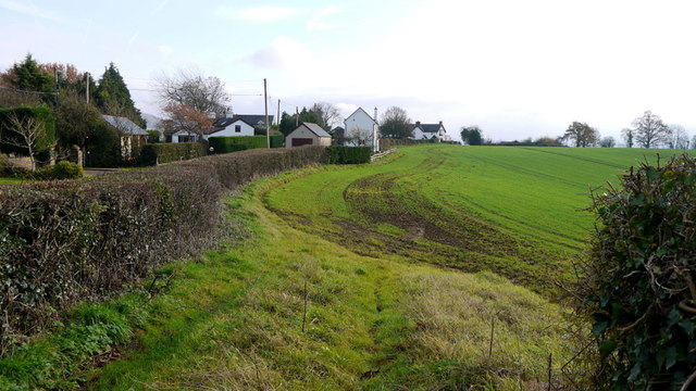
Image: © Jonathan Billinger Taken: 9 Dec 2013
This picture is close to my previous Geograph for this square taken over six years ago Image Strong growth on the winter cereal crop within this field.
Images are licensed for reuse under creativecommons.org/licenses/by-sa/2.0
Image Location
Latitude
51.844131
Longitude
-2.769293