Access road for West Hall Cottage
Introduction
The photograph on this page of Access road for West Hall Cottage by Trevor Littlewood as part of the Geograph project.
The Geograph project started in 2005 with the aim of publishing, organising and preserving representative images for every square kilometre of Great Britain, Ireland and the Isle of Man.

There are currently over 7.5m images from over 14,400 individuals and you can help contribute to the project by visiting https://www.geograph.org.uk
Access road for West Hall Cottage
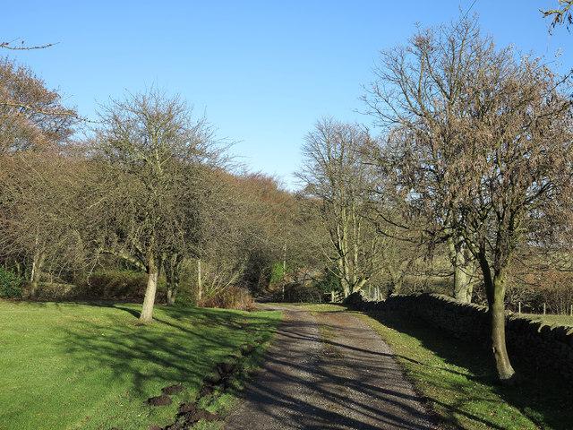
Image: © Trevor Littlewood Taken: 4 Dec 2013
West Hall Cottage (just behind the camera position) is connected with the public road system at Norburn Lane which lies ahead along the road.
Images are licensed for reuse under creativecommons.org/licenses/by-sa/2.0
Image Location
Latitude
54.81719
Longitude
-1.65777