Hillside (Harrow Road), Stonebridge Park
Introduction
The photograph on this page of Hillside (Harrow Road), Stonebridge Park by David Howard as part of the Geograph project.
The Geograph project started in 2005 with the aim of publishing, organising and preserving representative images for every square kilometre of Great Britain, Ireland and the Isle of Man.

There are currently over 7.5m images from over 14,400 individuals and you can help contribute to the project by visiting https://www.geograph.org.uk
Hillside (Harrow Road), Stonebridge Park
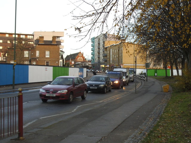
Image: © David Howard Taken: 4 Dec 2013
The A404 Harrow Road leads from the centre of Harrow to Marylebone Road in Paddington, but also, like the parallel Edgware Road, changes names many times, here twice in half a mile from Brentfield just before it reaches the North Circular Road. Much of the area has been totally rebuilt in the last decade, with more continuing behind these fences.
Images are licensed for reuse under creativecommons.org/licenses/by-sa/2.0
Image Location
Latitude
51.54104
Longitude
-0.262822