Thorpe Hill, Loughborough
Introduction
The photograph on this page of Thorpe Hill, Loughborough by Richard Vince as part of the Geograph project.
The Geograph project started in 2005 with the aim of publishing, organising and preserving representative images for every square kilometre of Great Britain, Ireland and the Isle of Man.

There are currently over 7.5m images from over 14,400 individuals and you can help contribute to the project by visiting https://www.geograph.org.uk
Thorpe Hill, Loughborough
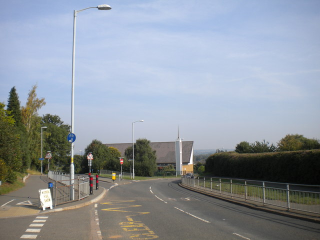
Image: © Richard Vince Taken: 28 Sep 2013
Thorpe Hill (foreground) actually continues as the side road on the left just beyond the "Keep Clear" markings; at that point the main road becomes Alan Moss Road, and passes the Loughborough Church of Jesus Christ of Latter Day Saints. The entrance in the left foreground provides access to Garendon High School.
Images are licensed for reuse under creativecommons.org/licenses/by-sa/2.0
Image Location
Latitude
52.77173
Longitude
-1.238973