Court Road, Frampton Cotterell
Introduction
The photograph on this page of Court Road, Frampton Cotterell by Derek Harper as part of the Geograph project.
The Geograph project started in 2005 with the aim of publishing, organising and preserving representative images for every square kilometre of Great Britain, Ireland and the Isle of Man.

There are currently over 7.5m images from over 14,400 individuals and you can help contribute to the project by visiting https://www.geograph.org.uk
Court Road, Frampton Cotterell
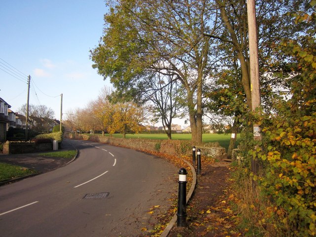
Image: © Derek Harper Taken: 22 Nov 2013
At the bend where it takes over from Watley's End Road. On the right is The Park.
Images are licensed for reuse under creativecommons.org/licenses/by-sa/2.0
Image Location
Latitude
51.531735
Longitude
-2.491833