Recreation ground, Highridge
Introduction
The photograph on this page of Recreation ground, Highridge by Derek Harper as part of the Geograph project.
The Geograph project started in 2005 with the aim of publishing, organising and preserving representative images for every square kilometre of Great Britain, Ireland and the Isle of Man.

There are currently over 7.5m images from over 14,400 individuals and you can help contribute to the project by visiting https://www.geograph.org.uk
Recreation ground, Highridge
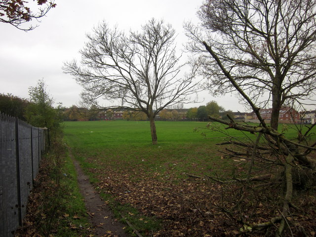
Image: © Derek Harper Taken: 16 Nov 2013
This is the home of Highridge United Football Club. Taken from public footpath BCC/488, which run around the eastern side of the sports ground. On the left is a fence surrounding St Peter's school.
Images are licensed for reuse under creativecommons.org/licenses/by-sa/2.0
Image Location
Latitude
51.416203
Longitude
-2.622168