Northanger Drive
Introduction
The photograph on this page of Northanger Drive by Peter Facey as part of the Geograph project.
The Geograph project started in 2005 with the aim of publishing, organising and preserving representative images for every square kilometre of Great Britain, Ireland and the Isle of Man.

There are currently over 7.5m images from over 14,400 individuals and you can help contribute to the project by visiting https://www.geograph.org.uk
Northanger Drive
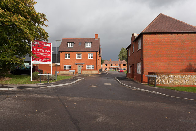
Image: © Peter Facey Taken: 3 Nov 2013
An alternative access to the Abbots Walk housing development from the pre-existing Francis Gardens whose road is seen in the foreground. The Bayfield 4-bedroomed house is seen ahead left, whilst that in right foreground is The Buttercross 5-bedroomed detached house.
Images are licensed for reuse under creativecommons.org/licenses/by-sa/2.0
Image Location
Latitude
51.077353
Longitude
-1.307632