Churchill Way North
Introduction
The photograph on this page of Churchill Way North by Neil Owen as part of the Geograph project.
The Geograph project started in 2005 with the aim of publishing, organising and preserving representative images for every square kilometre of Great Britain, Ireland and the Isle of Man.

There are currently over 7.5m images from over 14,400 individuals and you can help contribute to the project by visiting https://www.geograph.org.uk
Churchill Way North
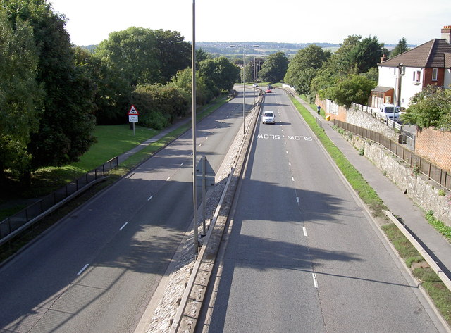
Image: © Neil Owen Taken: 23 Sep 2013
Looking from the footbridge as the A36 runs towards the Castle Roundabout. See Image] for an opposing view.
Images are licensed for reuse under creativecommons.org/licenses/by-sa/2.0
Image Location
Latitude
51.07616
Longitude
-1.791832