Normandy Drive, Taunton
Introduction
The photograph on this page of Normandy Drive, Taunton by Derek Harper as part of the Geograph project.
The Geograph project started in 2005 with the aim of publishing, organising and preserving representative images for every square kilometre of Great Britain, Ireland and the Isle of Man.

There are currently over 7.5m images from over 14,400 individuals and you can help contribute to the project by visiting https://www.geograph.org.uk
Normandy Drive, Taunton
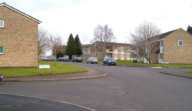
Image: © Derek Harper Taken: 11 Mar 2006
A curving road that forms a crescent off Lisieux Way, and which has several cul-de-sacs which are also addressed Normandy Drive.
Images are licensed for reuse under creativecommons.org/licenses/by-sa/2.0
Image Location
Latitude
51.011279
Longitude
-3.080433