Depth gauge beside the River Trent
Introduction
The photograph on this page of Depth gauge beside the River Trent by Graham Hogg as part of the Geograph project.
The Geograph project started in 2005 with the aim of publishing, organising and preserving representative images for every square kilometre of Great Britain, Ireland and the Isle of Man.

There are currently over 7.5m images from over 14,400 individuals and you can help contribute to the project by visiting https://www.geograph.org.uk
Depth gauge beside the River Trent
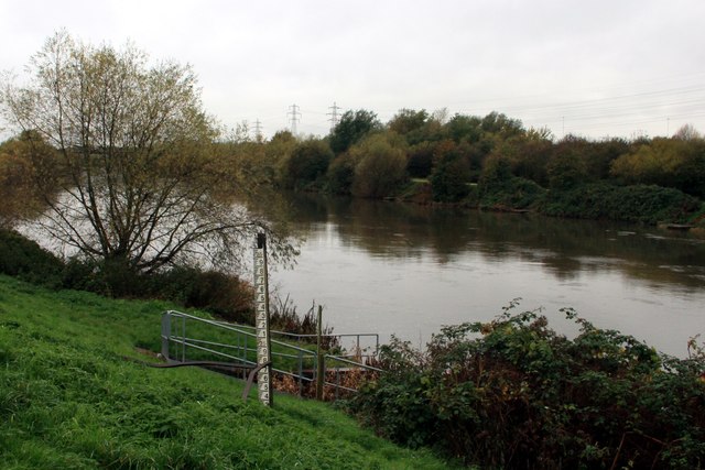
Image: © Graham Hogg Taken: 11 Nov 2013
There appeared to be a lot of water in the river after recent heavy rain, but it looks as though a lot more can be expected on occasion!
Images are licensed for reuse under creativecommons.org/licenses/by-sa/2.0
Image Location
Latitude
52.929328
Longitude
-1.160343