Pottery Street houses, Swansea
Introduction
The photograph on this page of Pottery Street houses, Swansea by Jaggery as part of the Geograph project.
The Geograph project started in 2005 with the aim of publishing, organising and preserving representative images for every square kilometre of Great Britain, Ireland and the Isle of Man.

There are currently over 7.5m images from over 14,400 individuals and you can help contribute to the project by visiting https://www.geograph.org.uk
Pottery Street houses, Swansea
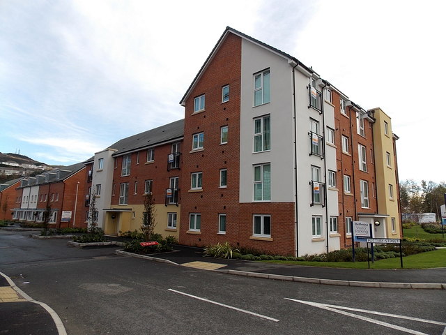
Image: © Jaggery Taken: 10 Nov 2013
New housing located between New Cut Road and the River Tawe. The name Pottery Street has been revived. A street of that name (probably nearby rather than in this exact location) was demolished in the 1970s.
Images are licensed for reuse under creativecommons.org/licenses/by-sa/2.0
Image Location
Latitude
51.625932
Longitude
-3.93739