Footbridge over the A467, Brynmawr
Introduction
The photograph on this page of Footbridge over the A467, Brynmawr by Jaggery as part of the Geograph project.
The Geograph project started in 2005 with the aim of publishing, organising and preserving representative images for every square kilometre of Great Britain, Ireland and the Isle of Man.

There are currently over 7.5m images from over 14,400 individuals and you can help contribute to the project by visiting https://www.geograph.org.uk
Footbridge over the A467, Brynmawr
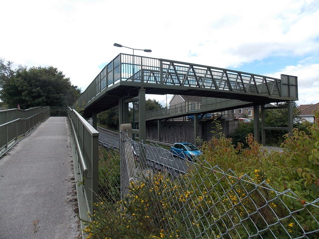
Image: © Jaggery Taken: 14 Sep 2013
The A467 was built through the course of the road now named Old Blaenavon Road. The footbridge gives walkers and wheelchair users access to both sides of the severed road.
Images are licensed for reuse under creativecommons.org/licenses/by-sa/2.0
Image Location
Latitude
51.798306
Longitude
-3.169189