Track to Beatty Avenue
Introduction
The photograph on this page of Track to Beatty Avenue by David Anstiss as part of the Geograph project.
The Geograph project started in 2005 with the aim of publishing, organising and preserving representative images for every square kilometre of Great Britain, Ireland and the Isle of Man.

There are currently over 7.5m images from over 14,400 individuals and you can help contribute to the project by visiting https://www.geograph.org.uk
Track to Beatty Avenue
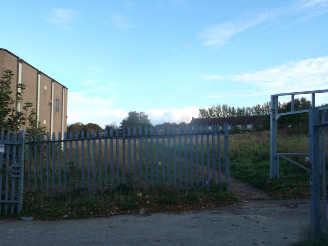
Image: © David Anstiss Taken: 3 Nov 2013
This muddy track is used as a passageway from to Woodlands Road to Beatty Avenue. The large building on the left is Image The wasteland the path leads through has recently been earmarked for a site for 40 new council homes.
Images are licensed for reuse under creativecommons.org/licenses/by-sa/2.0
Image Location
Latitude
51.379984
Longitude
0.56903