Camlas Tennant Canal
Introduction
The photograph on this page of Camlas Tennant Canal by Alan Richards as part of the Geograph project.
The Geograph project started in 2005 with the aim of publishing, organising and preserving representative images for every square kilometre of Great Britain, Ireland and the Isle of Man.

There are currently over 7.5m images from over 14,400 individuals and you can help contribute to the project by visiting https://www.geograph.org.uk
Camlas Tennant Canal
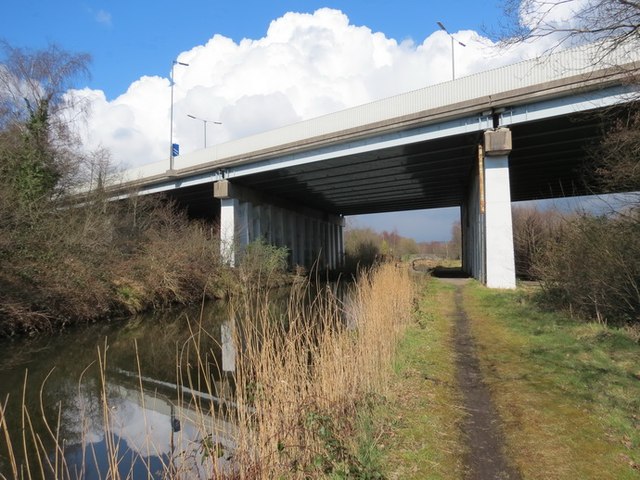
Image: © Alan Richards Taken: 19 Mar 2013
Rhan o Gamlas Tennant a ymestynnwyd yn 1821 o Bil Red Jacket i Aberdulais. Mae'r bont fodern yn cludo'r M4. A section of the Tennant Canal which was extended in 1821 from Red Jacket Pill to Aberdulais. The modern bridge carries the M4.
Images are licensed for reuse under creativecommons.org/licenses/by-sa/2.0
Image Location


Leaflet Map data © OpenStreetMap
Latitude
51.641915
Longitude
-3.843983