Valley Road distances from the south of Cinderford
Introduction
The photograph on this page of Valley Road distances from the south of Cinderford by Jaggery as part of the Geograph project.
The Geograph project started in 2005 with the aim of publishing, organising and preserving representative images for every square kilometre of Great Britain, Ireland and the Isle of Man.

There are currently over 7.5m images from over 14,400 individuals and you can help contribute to the project by visiting https://www.geograph.org.uk
Valley Road distances from the south of Cinderford
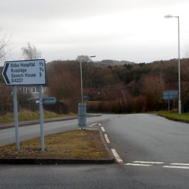
Image: © Jaggery Taken: 16 Dec 2012
The B4227 Valley Road heads south away from Cinderford towards Dilke Hospital (1⅓ miles) Ruspidge (1½) and Speech House (3). The sign is positioned facing vehicles on a roundabout.
Images are licensed for reuse under creativecommons.org/licenses/by-sa/2.0
Image Location
Latitude
51.822257
Longitude
-2.509645