Rear access to Woodcote Road and Packmore Street, Warwick
Introduction
The photograph on this page of Rear access to Woodcote Road and Packmore Street, Warwick by Robin Stott as part of the Geograph project.
The Geograph project started in 2005 with the aim of publishing, organising and preserving representative images for every square kilometre of Great Britain, Ireland and the Isle of Man.

There are currently over 7.5m images from over 14,400 individuals and you can help contribute to the project by visiting https://www.geograph.org.uk
Rear access to Woodcote Road and Packmore Street, Warwick
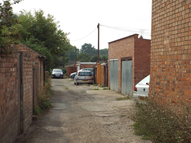
Image: © Robin Stott Taken: 28 Aug 2013
From conversation with a local resident it appeared that this rear way was one of the many that have not been adopted by the local highway authority. The individual property boundaries extend to the centre of the space and each owner is responsible for the maintenance of their part of it.
Images are licensed for reuse under creativecommons.org/licenses/by-sa/2.0
Image Location
Latitude
52.287346
Longitude
-1.581554