Sutton Meadows (1)
Introduction
The photograph on this page of Sutton Meadows (1) by John Topping as part of the Geograph project.
The Geograph project started in 2005 with the aim of publishing, organising and preserving representative images for every square kilometre of Great Britain, Ireland and the Isle of Man.

There are currently over 7.5m images from over 14,400 individuals and you can help contribute to the project by visiting https://www.geograph.org.uk
Sutton Meadows (1)
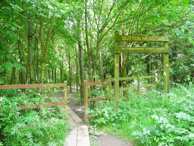
Image: © John Topping Taken: 25 Jun 2013
Sutton in Ashfield, Nottingham County Council. Path leading into the Meadows from the Kings Road footbridge. Path not shown on the 2005 Ex 269 map.
Images are licensed for reuse under creativecommons.org/licenses/by-sa/2.0
Image Location
Latitude
53.113397
Longitude
-1.278672