Radstock North platform
Introduction
The photograph on this page of Radstock North platform by b Lewis as part of the Geograph project.
The Geograph project started in 2005 with the aim of publishing, organising and preserving representative images for every square kilometre of Great Britain, Ireland and the Isle of Man.

There are currently over 7.5m images from over 14,400 individuals and you can help contribute to the project by visiting https://www.geograph.org.uk
Radstock North platform
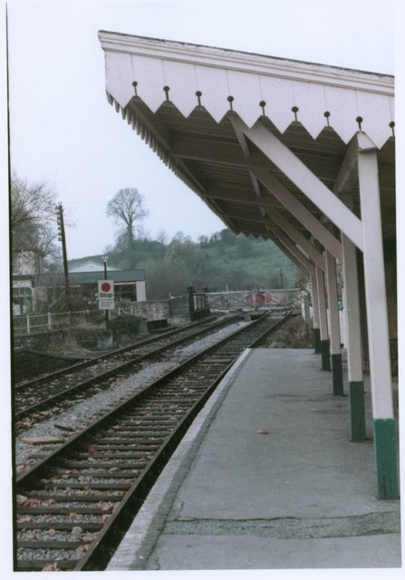
Image: © b Lewis Taken: Unknown
The platform at Radstock North station after closure viewed from the East. The level crossing gates were in the centre of the town adjacent to the signal box, now at Didcot. Date is approximate, around early 1980s.
Images are licensed for reuse under creativecommons.org/licenses/by-sa/2.0
Image Location
Latitude
51.292463
Longitude
-2.447824