View down Ynysygwas Hill, Cwmavon
Introduction
The photograph on this page of View down Ynysygwas Hill, Cwmavon by Jaggery as part of the Geograph project.
The Geograph project started in 2005 with the aim of publishing, organising and preserving representative images for every square kilometre of Great Britain, Ireland and the Isle of Man.

There are currently over 7.5m images from over 14,400 individuals and you can help contribute to the project by visiting https://www.geograph.org.uk
View down Ynysygwas Hill, Cwmavon
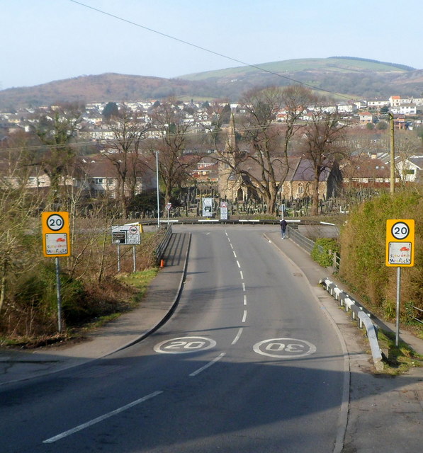
Image: © Jaggery Taken: 2 Mar 2012
The speed limit reduces from 30mph to 20mph on the approach to the London Row junction, behind which is St Michael's Church.
Images are licensed for reuse under creativecommons.org/licenses/by-sa/2.0
Image Location


Leaflet Map data © OpenStreetMap
Latitude
51.612773
Longitude
-3.762496