Coombe Way
Introduction
The photograph on this page of Coombe Way by Fernweh as part of the Geograph project.
The Geograph project started in 2005 with the aim of publishing, organising and preserving representative images for every square kilometre of Great Britain, Ireland and the Isle of Man.

There are currently over 7.5m images from over 14,400 individuals and you can help contribute to the project by visiting https://www.geograph.org.uk
Coombe Way
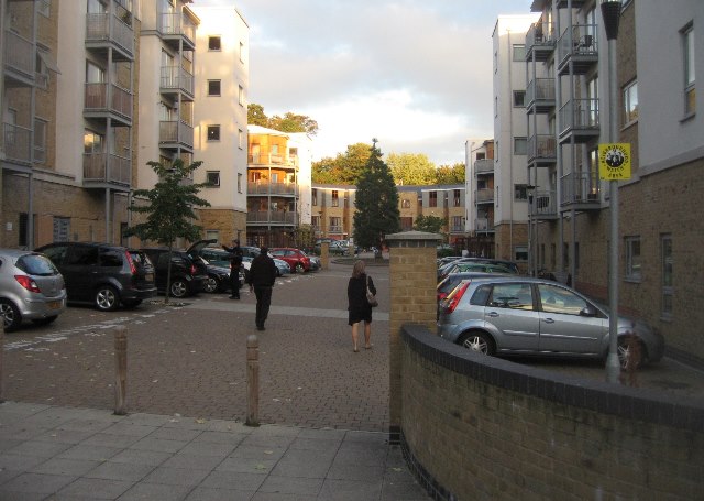
Image: © Fernweh Taken: 10 Oct 2013
I believe the land was formerly owned by Farnborough Abbey. Certainly as a child I remember this was all woodland.
Images are licensed for reuse under creativecommons.org/licenses/by-sa/2.0
Image Location
Latitude
51.29504
Longitude
-0.752469