Little Hele
Introduction
The photograph on this page of Little Hele by Derek Harper as part of the Geograph project.
The Geograph project started in 2005 with the aim of publishing, organising and preserving representative images for every square kilometre of Great Britain, Ireland and the Isle of Man.

There are currently over 7.5m images from over 14,400 individuals and you can help contribute to the project by visiting https://www.geograph.org.uk
Little Hele
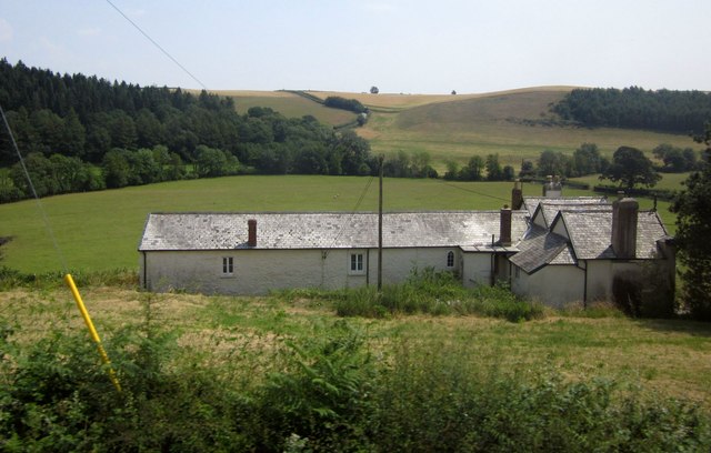
Image: © Derek Harper Taken: 18 Jul 2013
The Gothick house is described at http://list.english-heritage.org.uk/resultsingle.aspx?uid=1325515&searchtype=mapsearch . It overlooks the Mole valley. The lane from South Molton to Bishops Nympton can be seen climbing the far slope to the right of Blastridge Plantation.
Images are licensed for reuse under creativecommons.org/licenses/by-sa/2.0
Image Location
Latitude
51.002217
Longitude
-3.812226