Footpath approaching Aviemore
Introduction
The photograph on this page of Footpath approaching Aviemore by Jim Barton as part of the Geograph project.
The Geograph project started in 2005 with the aim of publishing, organising and preserving representative images for every square kilometre of Great Britain, Ireland and the Isle of Man.

There are currently over 7.5m images from over 14,400 individuals and you can help contribute to the project by visiting https://www.geograph.org.uk
Footpath approaching Aviemore
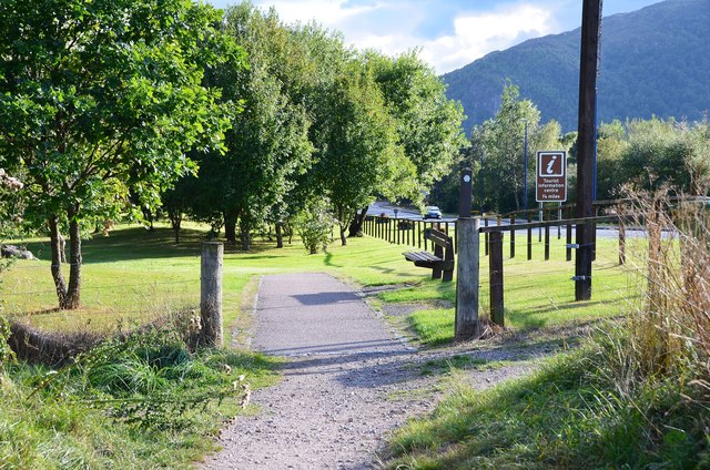
Image: © Jim Barton Taken: 7 Sep 2013
The Aviemore Orbital Path alongside the B9152 to the north of the town centre. The waymark behind the right-hand post denotes the Speyside Way.
Images are licensed for reuse under creativecommons.org/licenses/by-sa/2.0
Image Location
Latitude
57.202204
Longitude
-3.826995