Wilford: the route of the tramway
Introduction
The photograph on this page of Wilford: the route of the tramway by John Sutton as part of the Geograph project.
The Geograph project started in 2005 with the aim of publishing, organising and preserving representative images for every square kilometre of Great Britain, Ireland and the Isle of Man.

There are currently over 7.5m images from over 14,400 individuals and you can help contribute to the project by visiting https://www.geograph.org.uk
Wilford: the route of the tramway
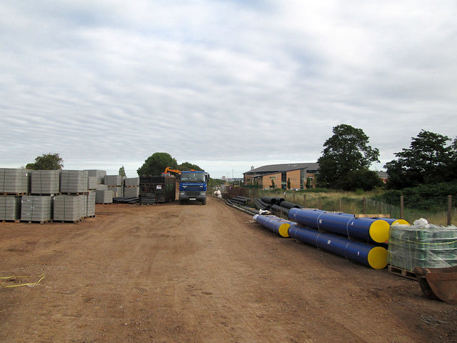
Image: © John Sutton Taken: 26 Sep 2013
Looking north, through the site entrance from the temporary pedestrian path, along the former alignment of the Great Central Railway, which the tramway will follow. The railway embankment has been removed - see Alan Murray-Rust's Image] for how things were in July 2012.
Images are licensed for reuse under creativecommons.org/licenses/by-sa/2.0
Image Location
Latitude
52.926242
Longitude
-1.156237