Little Roar Gill, St Leonards
Introduction
The photograph on this page of Little Roar Gill, St Leonards by Peregrine as part of the Geograph project.
The Geograph project started in 2005 with the aim of publishing, organising and preserving representative images for every square kilometre of Great Britain, Ireland and the Isle of Man.

There are currently over 7.5m images from over 14,400 individuals and you can help contribute to the project by visiting https://www.geograph.org.uk
Little Roar Gill, St Leonards
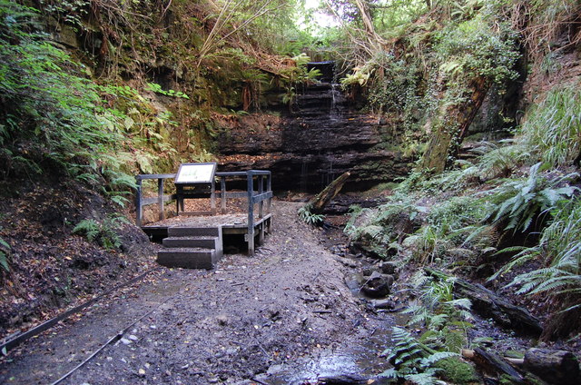
Image: © Peregrine Taken: 16 Sep 2013
Gill or Ghyll is from Old Norse meaning a steep sided stream valley in a hillside.Hard Ashdown sandstone gives way to Wadhurst clay, forming the waterfall ledge. The Gill supports the rare Toothwort plant.
Images are licensed for reuse under creativecommons.org/licenses/by-sa/2.0
Image Location
Latitude
50.877834
Longitude
0.561635