Milbourne Lane
Introduction
The photograph on this page of Milbourne Lane by Ian Capper as part of the Geograph project.
The Geograph project started in 2005 with the aim of publishing, organising and preserving representative images for every square kilometre of Great Britain, Ireland and the Isle of Man.

There are currently over 7.5m images from over 14,400 individuals and you can help contribute to the project by visiting https://www.geograph.org.uk
Milbourne Lane
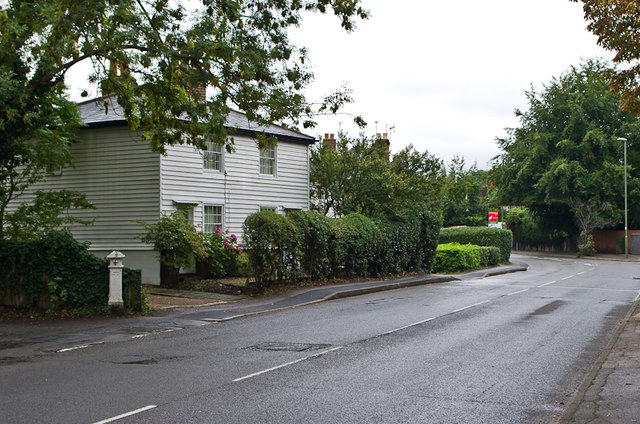
Image: © Ian Capper Taken: 14 Sep 2013
The weatherboarded house dates from around 1810 and is grade II listed - see www.historicengland.org.uk/listing/the-list/list-entry/1030165. For a closer view of the coal tax post in front of it, see Image
Images are licensed for reuse under creativecommons.org/licenses/by-sa/2.0
Image Location
Latitude
51.364332
Longitude
-0.355261