Flush Bracket G253
Introduction
The photograph on this page of Flush Bracket G253 by Keith Edkins as part of the Geograph project.
The Geograph project started in 2005 with the aim of publishing, organising and preserving representative images for every square kilometre of Great Britain, Ireland and the Isle of Man.

There are currently over 7.5m images from over 14,400 individuals and you can help contribute to the project by visiting https://www.geograph.org.uk
Flush Bracket G253
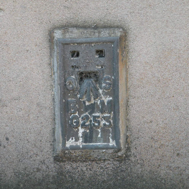
Image: © Keith Edkins Taken: 14 Sep 2013
On Sandyford Church in Kelvinhaugh St, this bracket lies 15.63m above OSDN.
Images are licensed for reuse under creativecommons.org/licenses/by-sa/2.0
Image Location
Latitude
55.864923
Longitude
-4.285816