Smythen Street, Exeter
Introduction
The photograph on this page of Smythen Street, Exeter by David Smith as part of the Geograph project.
The Geograph project started in 2005 with the aim of publishing, organising and preserving representative images for every square kilometre of Great Britain, Ireland and the Isle of Man.

There are currently over 7.5m images from over 14,400 individuals and you can help contribute to the project by visiting https://www.geograph.org.uk
Smythen Street, Exeter
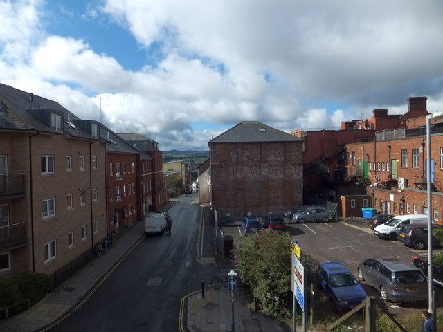
Image: © David Smith Taken: 9 Sep 2013
On the left are modern flats; on the right are the rear elevations of shops and buildings in Fore Street. This area is part of Exeter's West Quarter. The city council cleared the area in a slum clearance scheme between the wars
Images are licensed for reuse under creativecommons.org/licenses/by-sa/2.0
Image Location
Latitude
50.721041
Longitude
-3.533311