Installation of steel sheet piling along Richborough Road
Introduction
The photograph on this page of Installation of steel sheet piling along Richborough Road by John Baker as part of the Geograph project.
The Geograph project started in 2005 with the aim of publishing, organising and preserving representative images for every square kilometre of Great Britain, Ireland and the Isle of Man.

There are currently over 7.5m images from over 14,400 individuals and you can help contribute to the project by visiting https://www.geograph.org.uk
Installation of steel sheet piling along Richborough Road
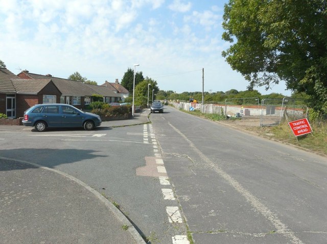
Image: © John Baker Taken: 27 Aug 2013
As reported in “recent work - updated August 2013”, steel sheet piling has been completed along Reach 2 near Richborough Road as part of the Sandwich Town Tidal Defence Scheme http://www.environment-agency.gov.uk/homeandleisure/floods/111320.aspx I was standing on the corner of Wantsume Lees looking across at the work in hand on the right hand side of Richborough Road.
Images are licensed for reuse under creativecommons.org/licenses/by-sa/2.0
Image Location
Latitude
51.281156
Longitude
1.331797