The old manor wall
Introduction
The photograph on this page of The old manor wall by Alan Murray-Rust as part of the Geograph project.
The Geograph project started in 2005 with the aim of publishing, organising and preserving representative images for every square kilometre of Great Britain, Ireland and the Isle of Man.

There are currently over 7.5m images from over 14,400 individuals and you can help contribute to the project by visiting https://www.geograph.org.uk
The old manor wall
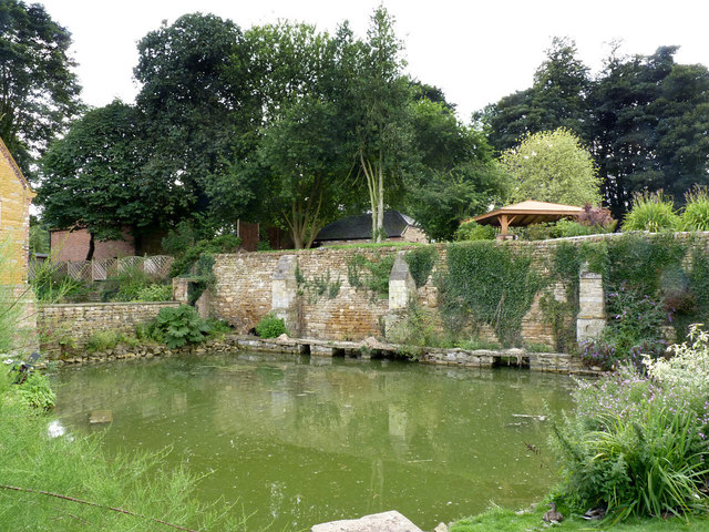
Image: © Alan Murray-Rust Taken: 21 Aug 2013
This is the last remnant, including the gateway on Rectory Lane http://www.geograph.org.uk/photo/3646143 , of the old manor House, demolished in the late 19th century after the building of the current Harlaxton Manor. It dates to around 1600 and is Listed Grade II.
Images are licensed for reuse under creativecommons.org/licenses/by-sa/2.0
Image Location
Latitude
52.882271
Longitude
-0.688978