West Street, Hartland
Introduction
The photograph on this page of West Street, Hartland by David Smith as part of the Geograph project.
The Geograph project started in 2005 with the aim of publishing, organising and preserving representative images for every square kilometre of Great Britain, Ireland and the Isle of Man.

There are currently over 7.5m images from over 14,400 individuals and you can help contribute to the project by visiting https://www.geograph.org.uk
West Street, Hartland
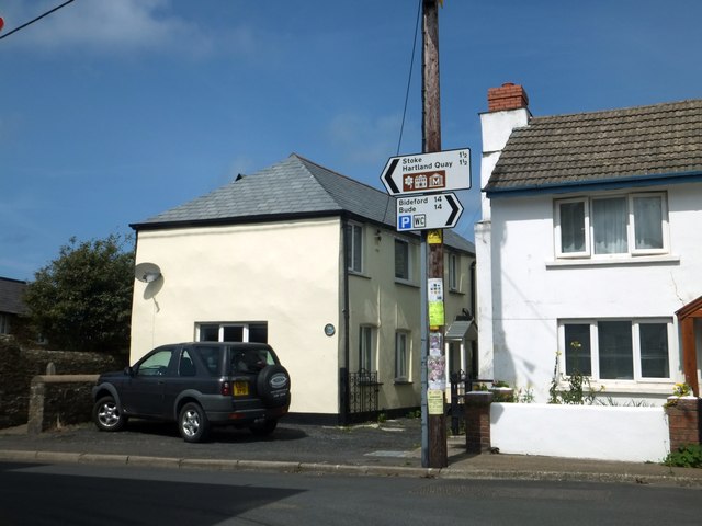
Image: © David Smith Taken: 19 Aug 2013
One wonders why the indicator boards were placed so high. Was it to protect them from vandalism or accident, or to leave space for the pole to be used for advertising?
Images are licensed for reuse under creativecommons.org/licenses/by-sa/2.0
Image Location
Latitude
50.992937
Longitude
-4.483072